Today was our last day of exploring in the Bluff area so dad & I took advantage of the day. We hadn't taken any pictures of Bluff Fort yet so here's what it looks like. It covers just 1 block, has the new Co-op Mercantile Building, meeting house, RS Building, and several restored pioneer homes. They have a garden area, statue of John Taylor, covered wagons, etc. It's all operated by the Hole-in-the Rock Foundation and accepts donations. This is the first year that service missionaries have been called to help restore & maintain the Fort and there's still plenty of work to do.
Above - North West corner of the Fort - below - Southwest corner
The LDS Chapel is just diagonal across the road from the North West corner of the Fort..
We found the River Ruins by the San Juan River along with lots of petroglyphs.
Here's a shot of the pioneer trail & Comb Ridge. Pioneers came down this valley & crossed the ridge at San Juan Hill.
We drove back roads over to Montezuma Creek & found more ruins. Also, a shot of the San Juan River looking west towards Bluff..
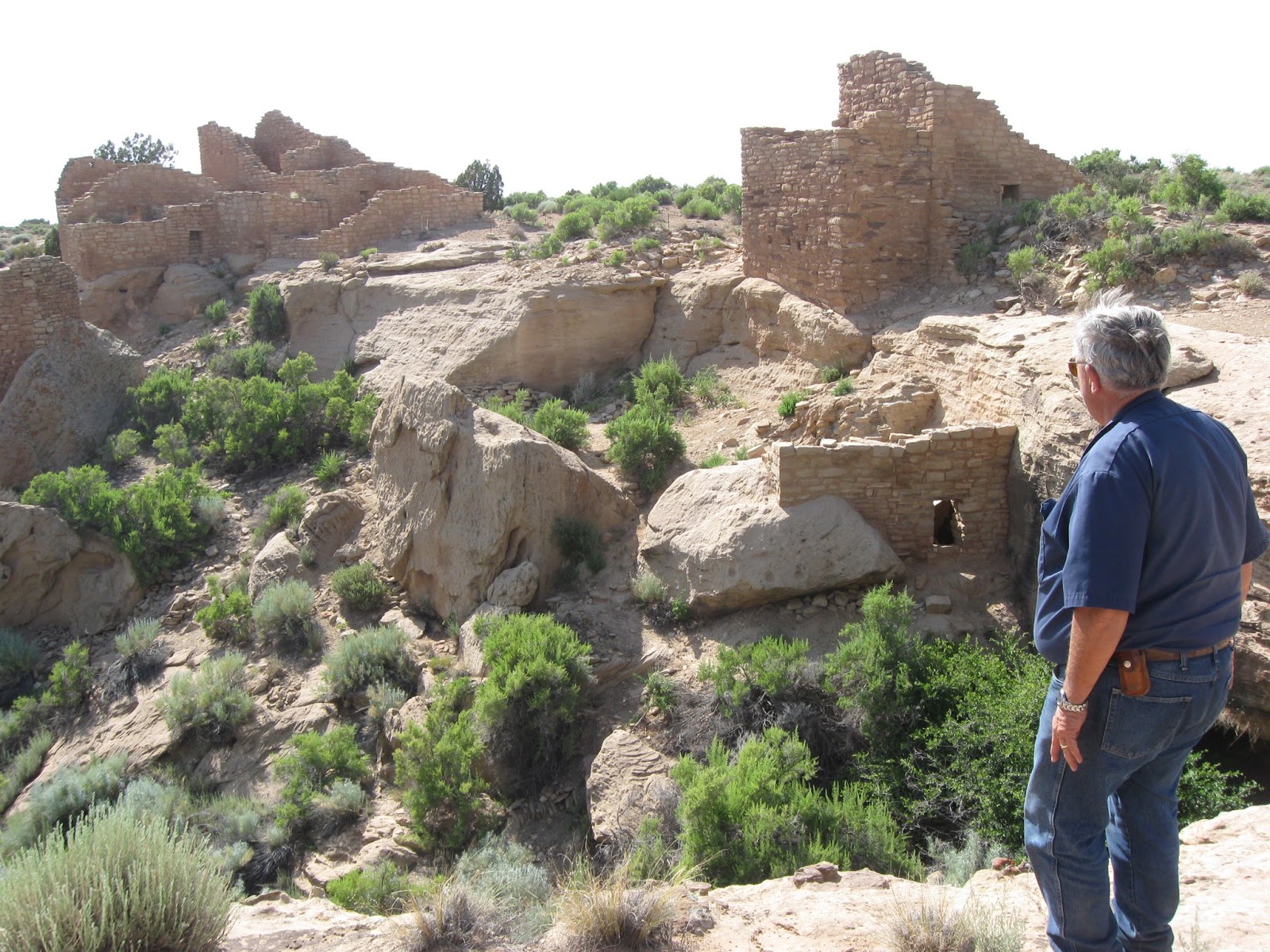
We explored the Cool Spring Ruins where the ancients tried to preserve any water in the area. This was a part of the Hovenweep National Park area.
Along our travels, we came across some hoodoos that were just as spectacular as Goblin Valley. The picture just doesn't quite do it justice.
Twin Buttes is a famous landmark here in Bluff so we had to get a picture of them, too.
We went over 100 miles today, mostly on dirt roads and feel that we've explored the Bluff area and accomplished what we set out to do here.


You guys are so stinkin cute, I love how most the pictures you have one of you standing so cute in the shot!! Looks like a great to serve. You rock!
ReplyDeletethose ruins are awesome! *reminds me of lake Powell for some reason..
ReplyDeleteLooks like a GREAT place to serve! Love you